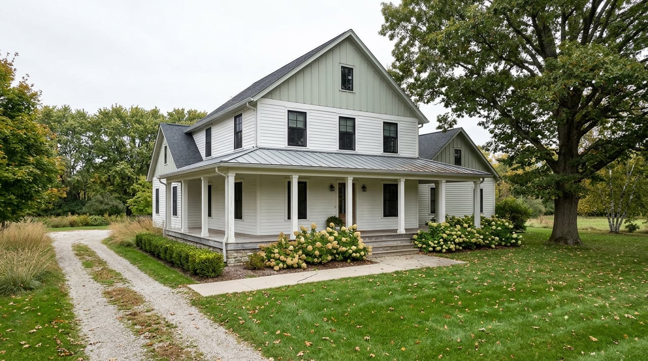
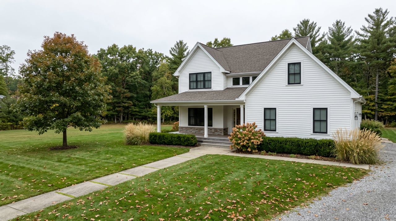
Picture two three-bedroom homes in Muncy, priced within a few thousand dollars of each other. One sits a few blocks off Main Street in a Victorian with a wraparound porch, an easy walk to Muncy Heritage Park and Nature Trail. The other sits out in Muncy Creek Township on half an acre, newer construction, a longer drive to anything. Same price range. Same school district. One of them carries a flood insurance bill the other doesn't, and neither the listing sheet nor the median price anywhere on a portal search will tell you which.
That gap is not folklore about living near water. It traces to an actual line on an actual map, and understanding where that line runs, and how recently it was drawn, matters more than the sale price when you're comparing what your money buys inside Muncy Borough versus out in the township or Muncy Creek Township.
Why the Borough's Oldest Homes Sit Closest to the Water
Muncy Borough's street grid dates back to the 1800s, when the canal trade ran through town. That history is still visible in the housing stock: Victorian and Queen Anne homes, some with the castle-like towers and detailed woodwork that era produced, packed onto a tight grid close to the West Branch Susquehanna River and Muncy Creek. Muncy Heritage Park and Nature Trail sits right along the old canal towpath, walking distance from the borough's core, telling the story of the trading canal that once ran through.
That same geography that gave the borough its charm also put its oldest, densest housing closest to two waterways. It's not a coincidence. Canal-era towns were built next to the water because that's how goods moved. The tradeoff buyers inherit today is that the homes with the most historic character are also the homes sitting nearest the flood district line.
Muncy Township and Muncy Creek Township tell a different story. The township has grown into more of a contemporary suburb, while Muncy Creek Township still looks close to how it did when it was formed in the 1790s: rural, spread out, dominated by farmland and larger lots. One of our agents who lives in Muncy and has sold in all three areas for years describes the three as functioning like one community day to day, even though the housing stock, the lot sizes, and the flood exposure differ block by block and township by township. That local read matters here, because it means "living in Muncy" and "living in Muncy Borough" are not interchangeable questions when flood insurance enters the picture.
The Map Under the Price Tag
Muncy Borough maintains its own set of official maps, separate from the county's general parcel and flood viewers, and one of them is labeled simply "Flood Districts." That's not a marketing document. It's the map that determines whether a given parcel sits inside a mapped flood zone, and it's specific to the borough in a way that a countywide search doesn't capture.
The maps in circulation today trace back to a countywide restudy that FEMA finalized around 2016, covering Lycoming County's boroughs and townships by name, including Muncy Borough, Muncy Township, and Muncy Creek Township. That restudy is now roughly a decade old. Meanwhile, FEMA has been running a separate, more recent remapping effort along the Susquehanna River in response to the historic flooding from Tropical Storm Lee in 2011, but that newer study explicitly covers Snyder, Northumberland, Union, Montour, Columbia, Luzerne, Wyoming, and Bradford counties. Lycoming County isn't on that list. Muncy's flood maps aren't part of the newer cycle. They're still running on the 2016 restudy, which means a buyer pulling up a flood map today for a Muncy property is looking at a map drawn before the last decade of local rainfall and stream data was added to the record.
That gap between "when the map was drawn" and "today" is exactly where the median price stops being useful. A price search doesn't know which decade its underlying flood data came from. A parcel-level check of the borough's own flood district map does.
What the Average Bill Actually Looks Like
Flood insurance data reported in early 2026 for the combined Muncy Creek, Muncy, Bradford, and Foster area showed 342 active National Flood Insurance Program policies in force, with $412,767 in total written premium. Divide that out and the average policy runs about $1,207 a year.
| Metric (early 2026) | Figure |
|---|---|
| Active NFIP policies, Muncy Creek/Muncy/Bradford/Foster area | 342 |
| Total written premium | $412,767 |
| Average annual premium | $1,207 |
Over a 30-year mortgage, that average premium adds more than $36,000 to the true cost of ownership, money that never shows up in a median price comparison because it isn't part of the purchase price at all. It's a recurring bill tied to which side of a mapped line the home sits on, and it's the kind of number a buyer typically doesn't see until they're deep into financing a specific property.
Here's the part that catches people off guard even after they know the map exists: since FEMA rolled out its Risk Rating 2.0 pricing system, most policies no longer require a certified elevation survey to be priced. FEMA now uses LiDAR data to estimate a building's elevation automatically. That's convenient in one sense, since it removes a cost buyers used to have to pay for a survey. But it also means two nearby homes on opposite sides of the borough's flood district line can be priced completely differently by FEMA's own model, without either owner ever commissioning an elevation certificate to confirm it. The premium isn't something you can eyeball from the street. It's something FEMA's system already decided about your specific parcel before you ever made an offer.
An elevation certificate is still worth asking about if a seller has one on file. It can't remove a property from a flood zone, but if it shows the home sits higher than FEMA's automated estimate, it can lower the premium, sometimes by a meaningful amount.
What This Means If You're Comparing the Borough to the Township
The tradeoff isn't just about water exposure. It's about what each part of Muncy actually offers. The borough gives you walkability, history, and proximity to Main Street's shops and restaurants. Muncy Creek Township gives you space, newer construction options, and proximity to one of the area's largest employers: the Kellanova plant, formerly operated as Kellogg, which employs more than 300 people making Pop-Tarts and Nutri-Grain bars. Weis Markets, sitting on Route 405 between Muncy and Hughesville, is the closest grocery store for a lot of township residents, while borough residents can walk to Main Street instead.
None of that shows up in a median price search either. A buyer comparing "Muncy homes" without separating borough from township is comparing walkable history against rural acreage against proximity to a major employer, three genuinely different products that happen to share a mailing address. Add the flood district line into that comparison and the picture gets sharper: the same price range can mean a ten-minute walk to the river with a four-figure annual insurance bill, or a ten-minute drive from the river with none at all.
Before writing an offer on anything close to the water in Muncy Borough, pull up the borough's own flood district map, not just a general county search, and ask directly whether the specific parcel sits inside a mapped zone. If it does, ask what an NFIP quote looks like for that address specifically. The average premium is $1,207 a year across the wider area, but averages hide range, and the only number that matters is the one tied to the parcel you're actually buying.
A Few Common Questions
Does buying outside Muncy Borough guarantee I won't need flood insurance? No. Muncy Township and Muncy Creek Township both have streams and floodplain areas of their own, and the 2016 restudy covered all three municipalities by name. Distance from the river helps, but it isn't a substitute for checking the specific parcel.
Do I need to pay for an elevation certificate before making an offer? Not necessarily. Under FEMA's current Risk Rating 2.0 system, most policies are priced using FEMA's own elevation estimates rather than a certified survey. An elevation certificate only makes sense if you want to challenge that estimate, and it's worth asking a seller if one already exists for the property before paying for a new one.
Where do I actually check if a specific Muncy address is in a flood district? Muncy Borough publishes its own Flood Districts map separately from the county's general parcel and flood viewers. For addresses outside the borough, FEMA's Flood Map Service Center lets you search by address directly.
If you're weighing a historic home in Muncy Borough against something newer out in the township, the flood district line is one of the first things worth checking, not the last. Devin L O'Rourke and the Century 21 Colonial team know which streets sit inside that line and which don't, and can walk you through what a specific address actually costs to carry before you write an offer. Contact us to talk through the map before you talk through the price.